
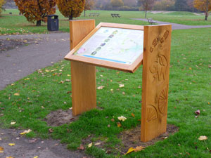

Bedford Green Wheel
The Bedford Green Wheel is a long term initiative begun in 2009 to build on the existing network of traffic free paths, cycle routes and bridleways that encircle the towns of Bedford and Kempston to create an orbital loop for cyclists, walkers and riders of all abilities linking parks, nature reserves, countryside and homes with radial routes in and out of the urban area.
When completed the main outer loop will be nearly 20 mile (over 30km) long.
A Masterplan of the orbital loop was published in 2009.
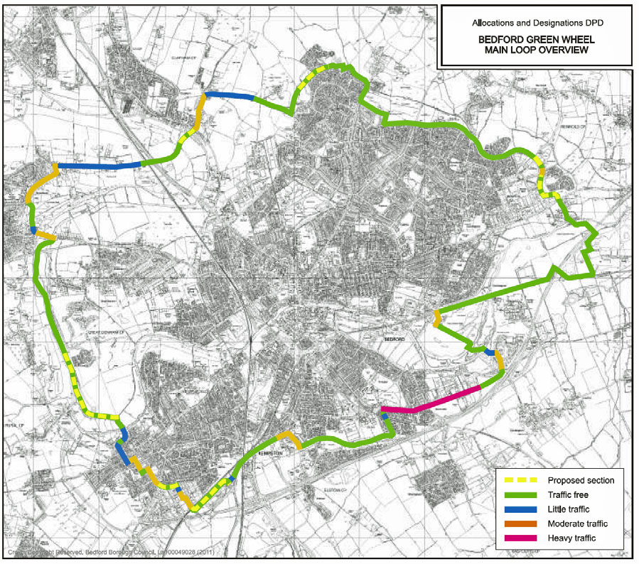
The quadrant, the North East loop - Kimbolton Road (B660) to St Neots Road (A428) - and part of the South East loop - St Neots Road (A428) as far as the Priory Country Park - was completed in 2011 to give a route just over 5 miles (nearly 9km) from Brickhill, Mowsbury Park and Putnoe to the National Cycle Network (NCN) Route 51 to Priory Country Park and onwards to the town centre.
In the north of Putnoe adjacent to Mowsbury Park are two nature reserves - Putnoe Woods and Mowsbury Hillfort while in the park itself is a BMX track.
The Green Wheel is supported by a partnership including a number of local organisations: Bedford Borough Council, Sustrans, Bedfordshire Rural Communities Charity, Marston Vale Trust, British Trust for Conservation Volunterrs (BTCV) as well as Cycling Campaign for North Bedfordshire (CCNB).
Allocations and Designations Plan
The Allocations and Designations Plan [Borough Document] was adopted in July 2013 and allocates land required for future development in the Borough up to 2021. It designates areas where particular controls on development apply and reviews the boundary of Settlement Policy Areas and the urban area.
The Cycle Network incorporating the Green Wheel is the subject of Chapter 12 of the document. Backgound Papers [Borough Document] are Bedford Green Wheel Master Plan Draft Report, December 2009 and Cycle Network Background Paper, March 2012.